On the Road Again - Lake Michigan and the Mighty Mac
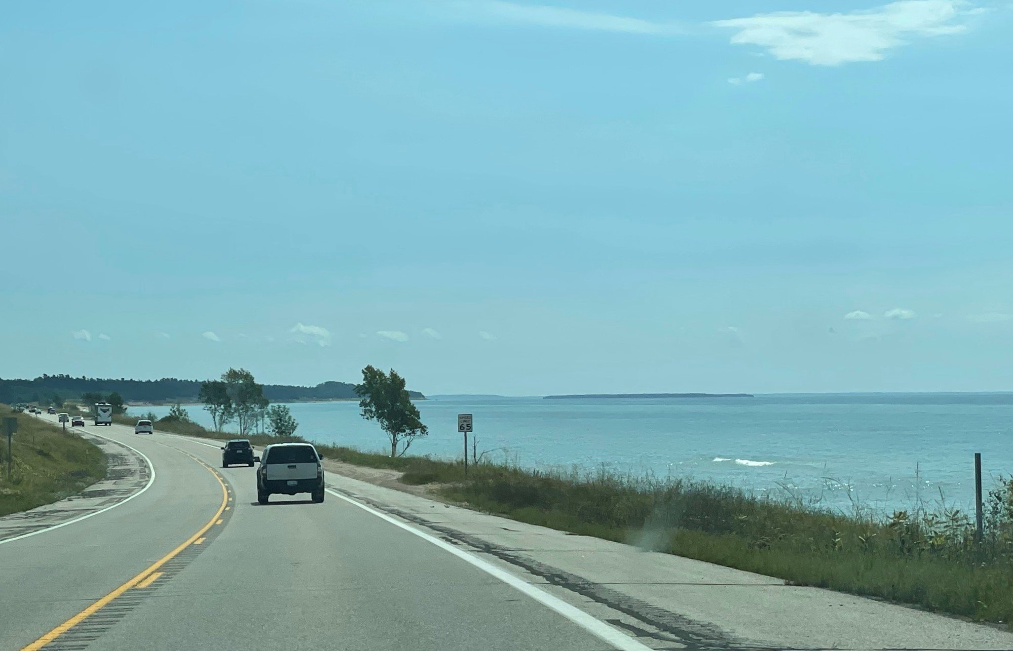
After our peaceful week in the central UP (Upper Peninsula of Michigan), we left on Saturday morning and drove east along US-2. It was the continuation of the two-lane "Hi-Line" that we drove across Montana, so it was a bit like seeing an old friend. This part is fittingly known as the Lake Michigan Scenic Highway, and follows the northern shore of the lake. As we drove along, we gave a friendly wave toward Chicago, which we couldn't see of course, as it was ~300 miles away across the water.
Along some stretches of Lake Michigan, there were vehicles parked on the shoulder and people enjoying the sandy beaches and blue water. Even as Floridians, we acknowledged it was a beautiful day for the beach.
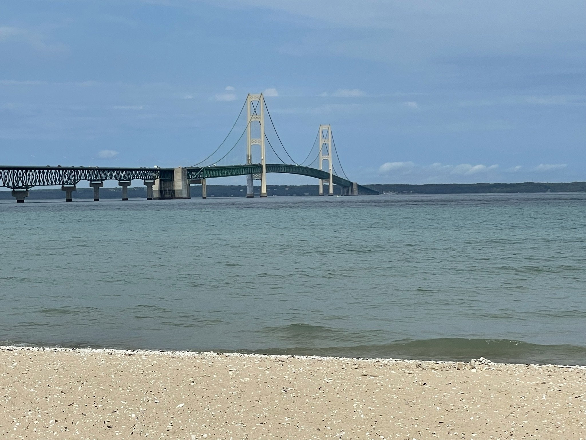
The Upper and Lower Peninsulas of Michigan are joined by the Mackinac Bridge, nicknamed the "Mighty Mac," which is one of the longest suspension bridges in the world (5 miles shoreline to shoreline). We drove across just for fun, and stretched our legs with a walk along the beach in Mackinaw City (the only stop we made in the Lower Peninsula on this trip.
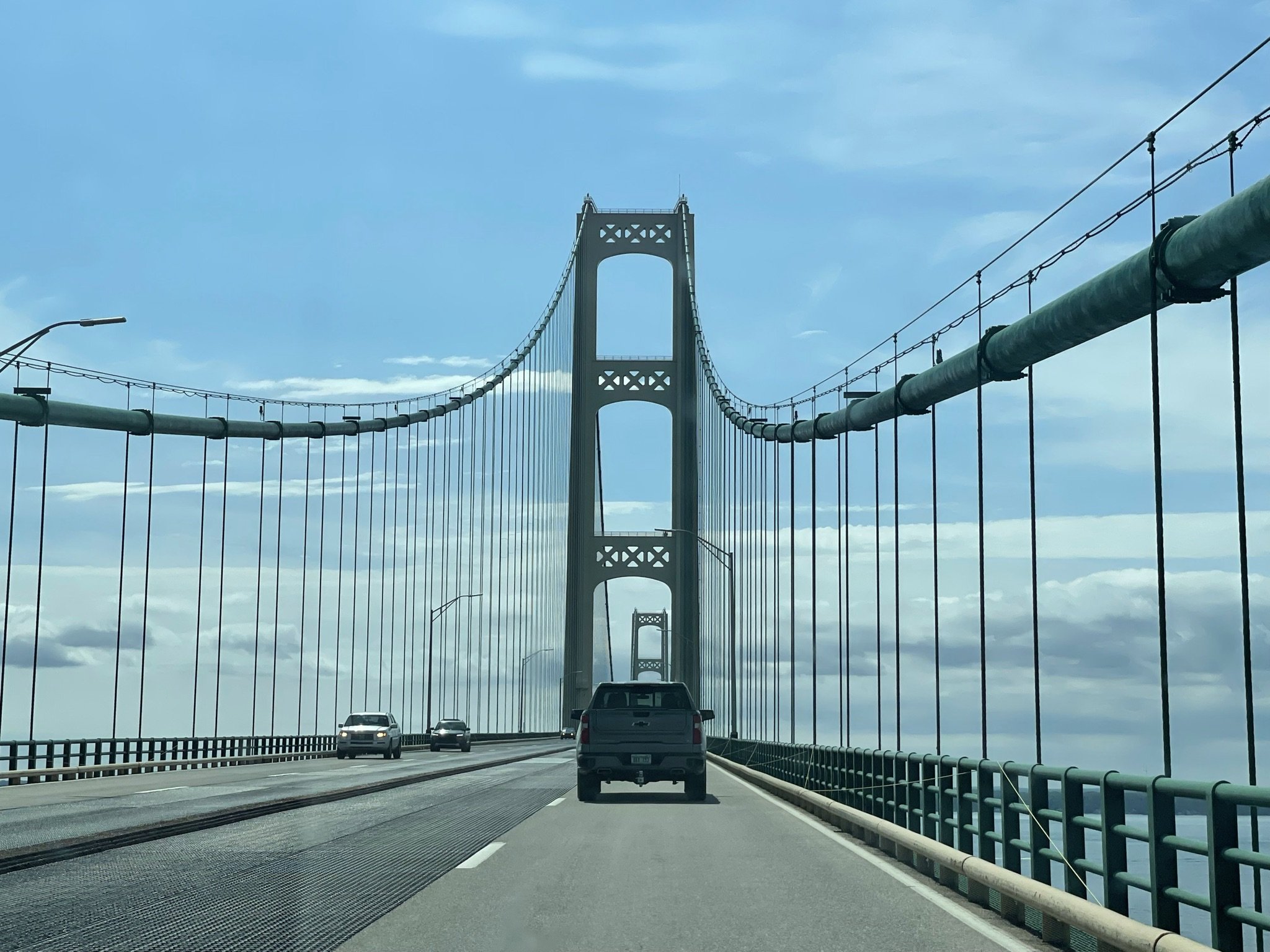
The Mackinac Bridge opened in 1957, as a long-awaited replacement to the ferry service across the Straits of Mackinac. The bridge was built to withstand 150-mph winds and giant ice masses. It made a huge difference for everyone living in the UP. With the ferry, it typically took five hours for a car to cross the strait. Driving across the bridge took us only five minutes!
After our walk, it was time to drive back across the Mighty Mac to the town of St. Ignace, where we would board the ferry to our next stop, Mackinac Island.
And in case you're wondering, it's pronounced "MACK-inn-aw," no matter which way you see it spelled!