Lassen Part 3: Beauty from Chaos
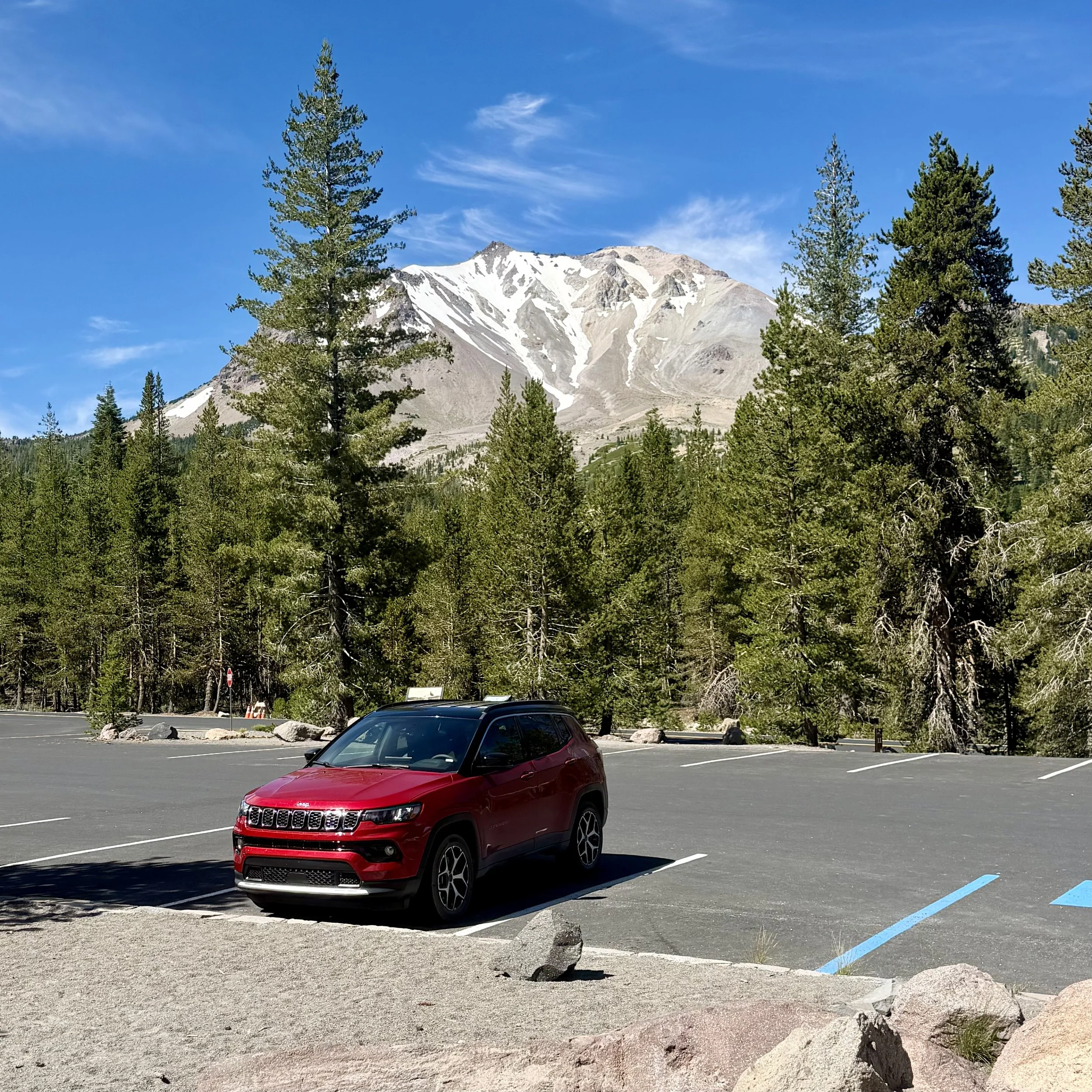
On our last (half) day in Lassen, we explored the stops on the northern half of the park highway. The northeastern side of Lassen Peak was half covered with snowfields that stay there year-round.
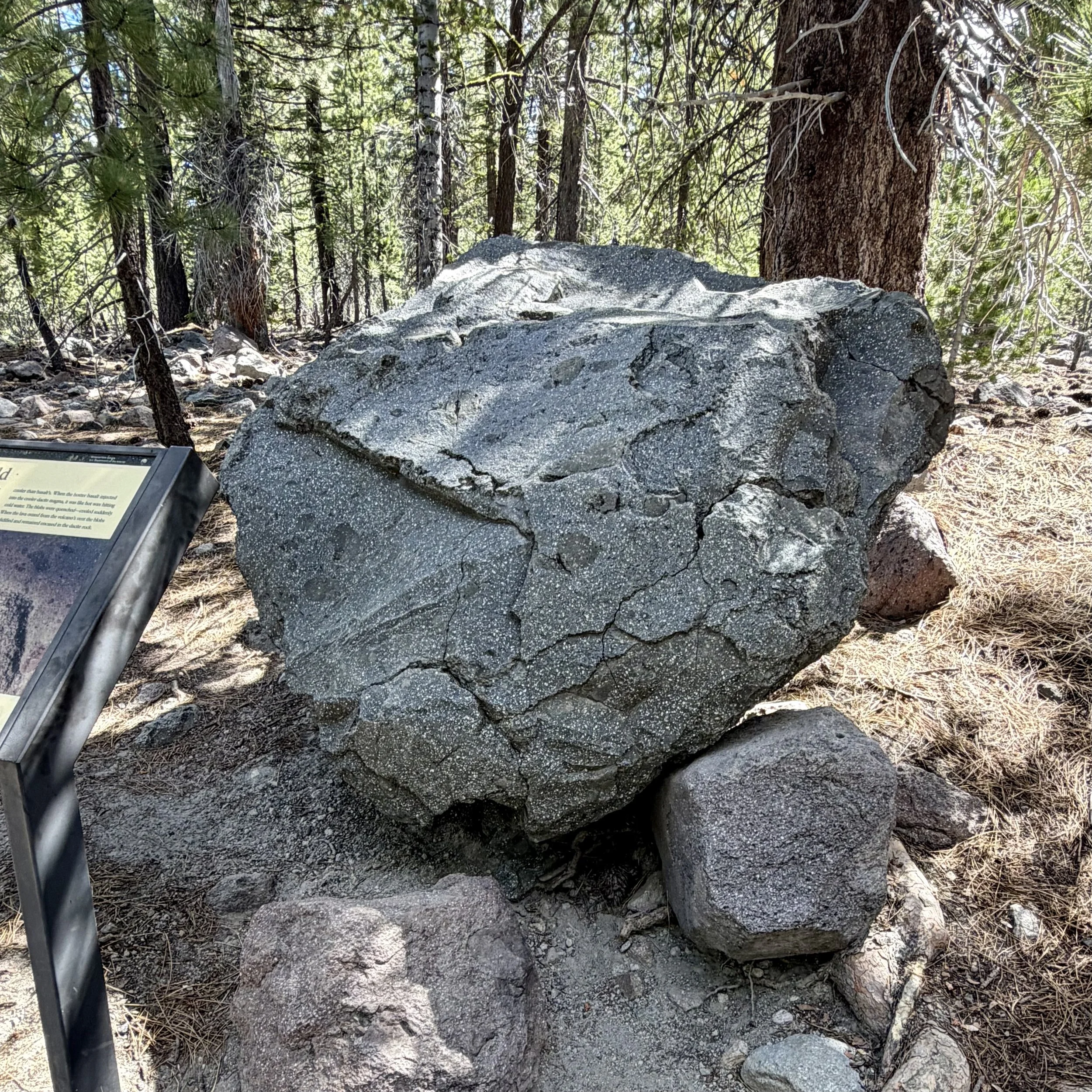
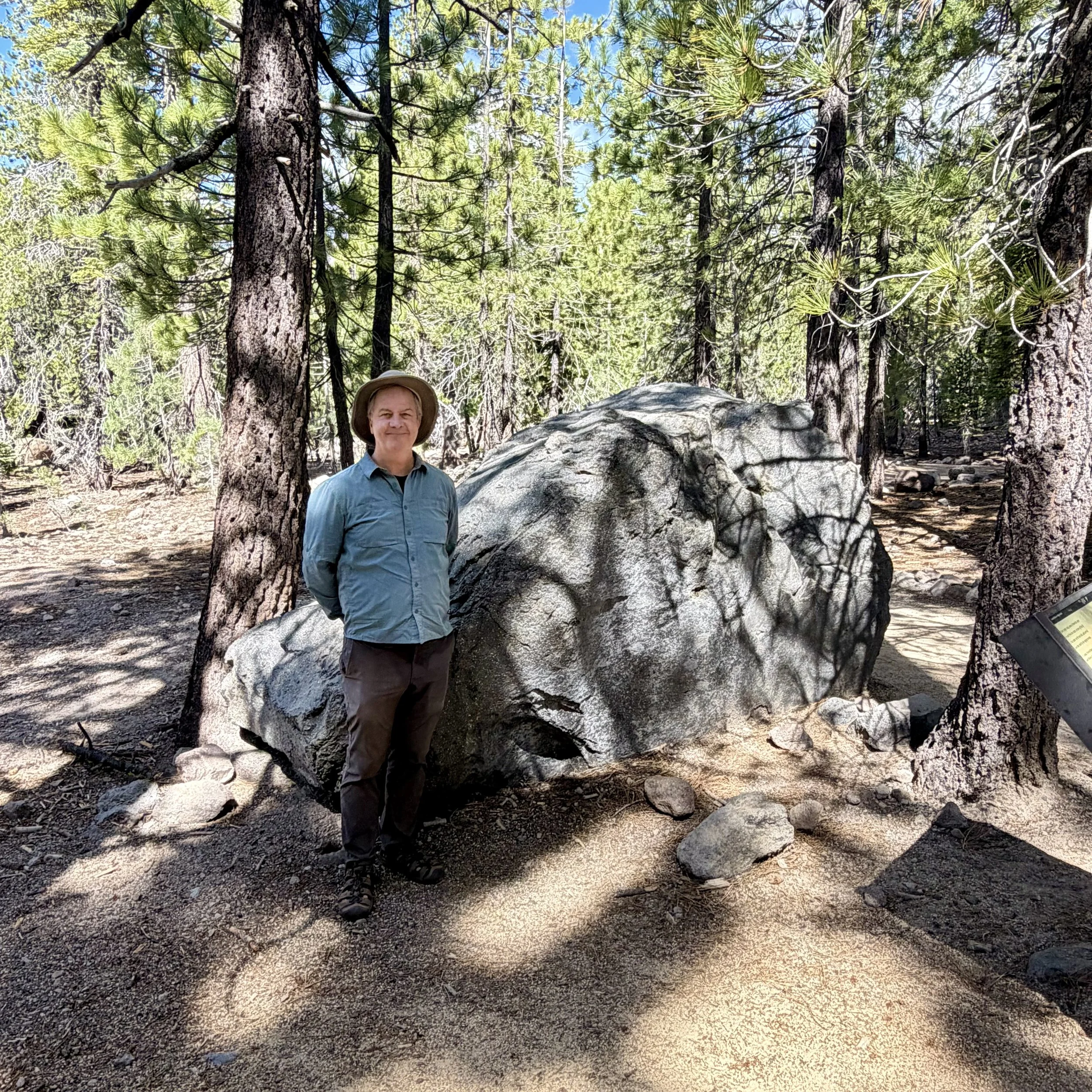
In the Devastated Area, displays told the story of Lassen Peak’s big eruption in 1915, the massive mudflow that destroyed everything in its path, and the forest’s gradual recovery. The Hot Rock was a boulder that had been ejected from Lassen Peak; three days later, it was found three miles away, still hot to the touch.
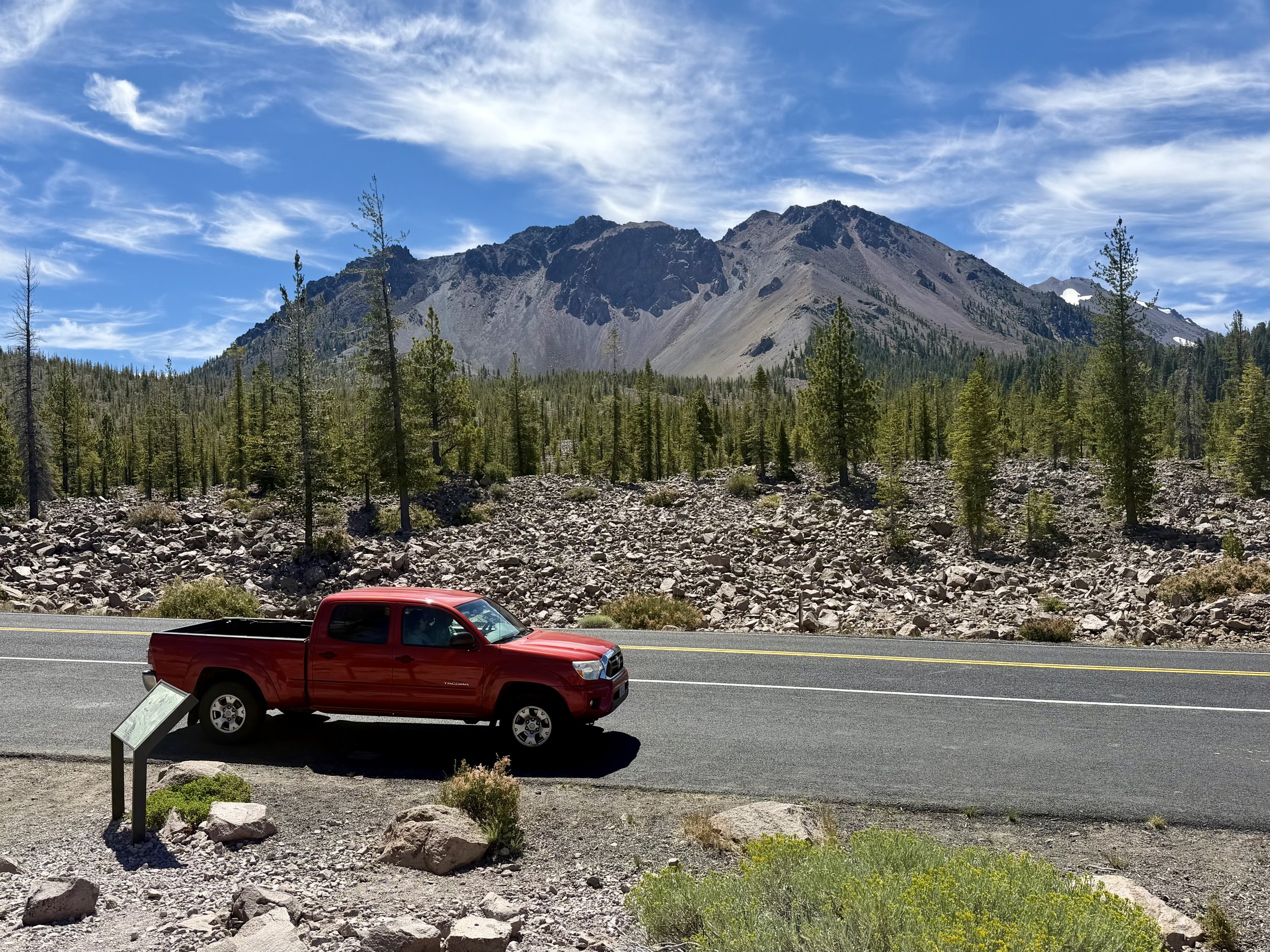
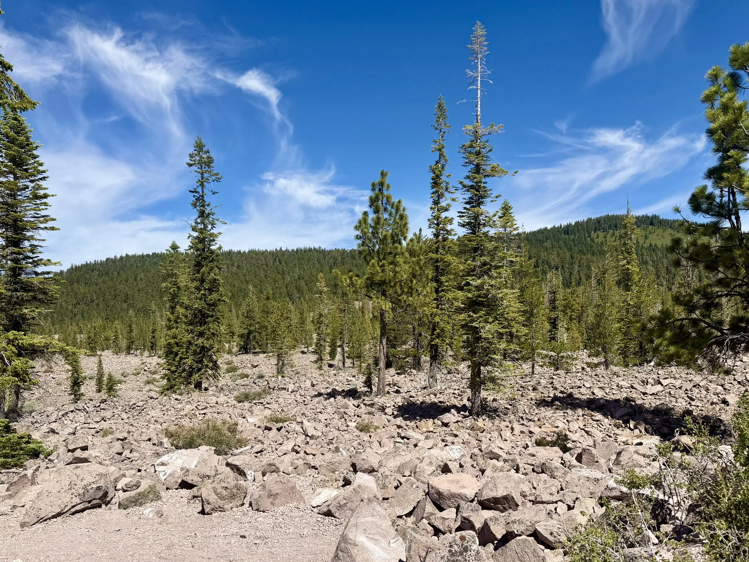
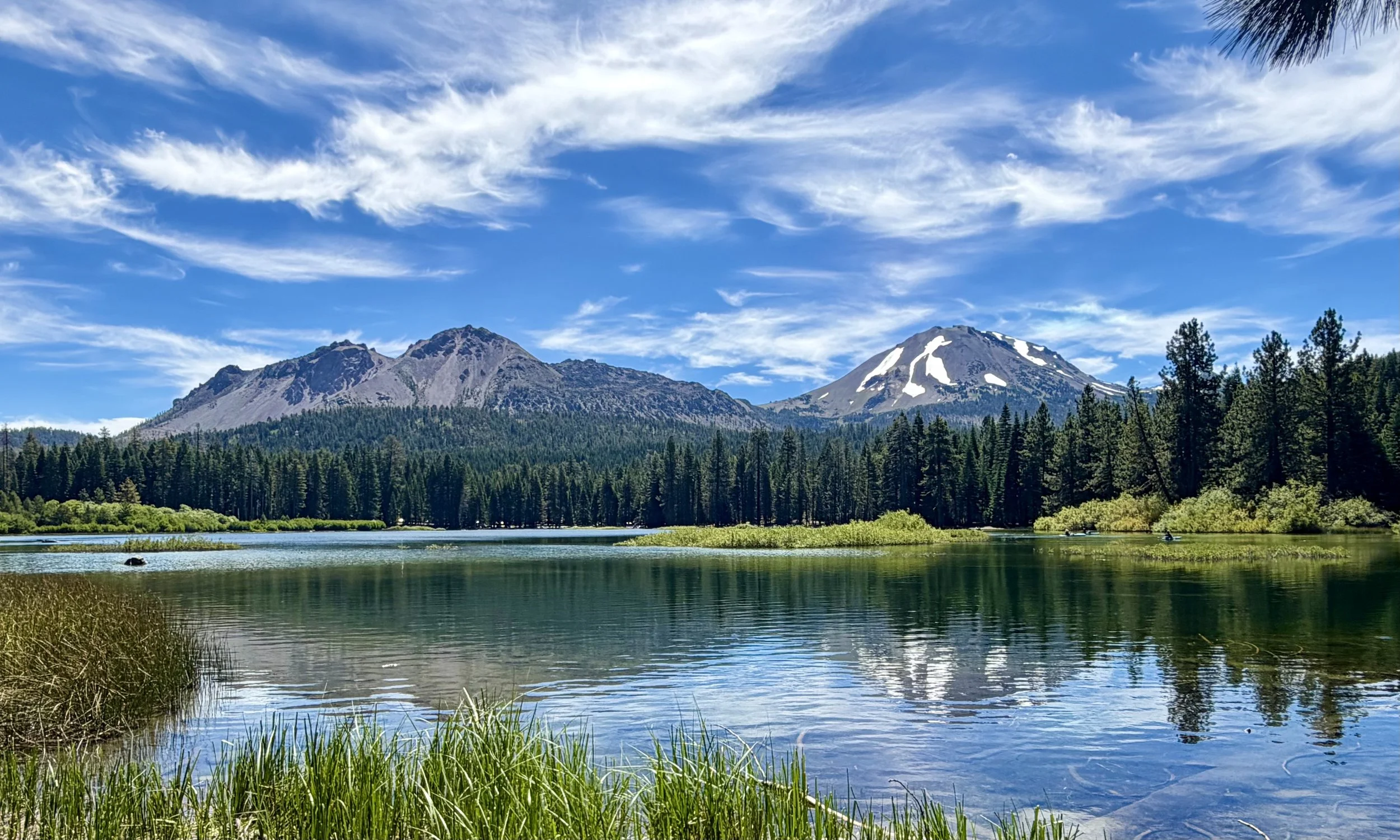
Chaos Crags was a cluster of six dome volcanoes. One of them mysteriously collapsed, triggering a massive rockslide The rock field now has a wonderful name: Chaos Jumbles. The rockslide dammed a creek, creating Manzanita Lake.
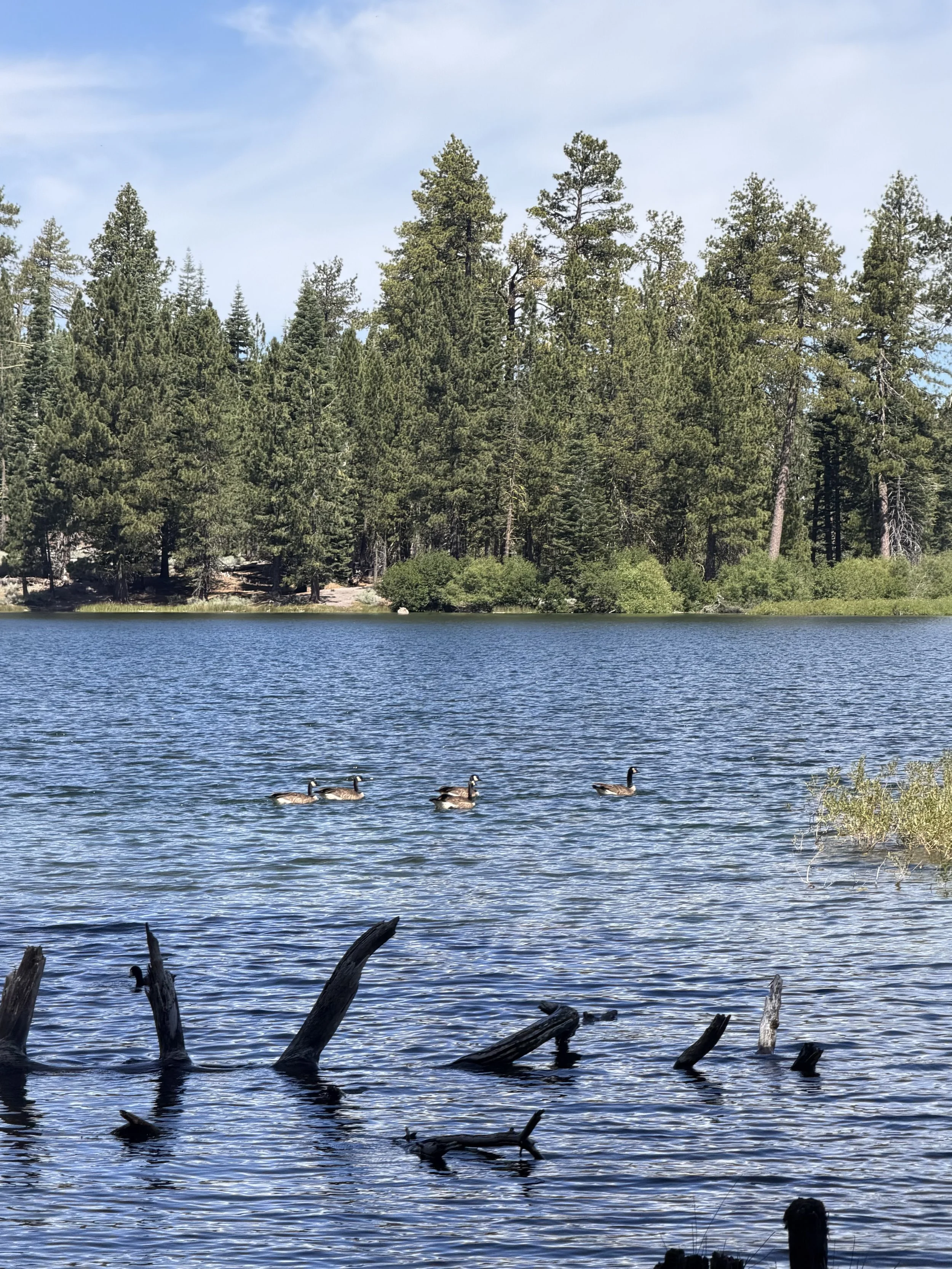
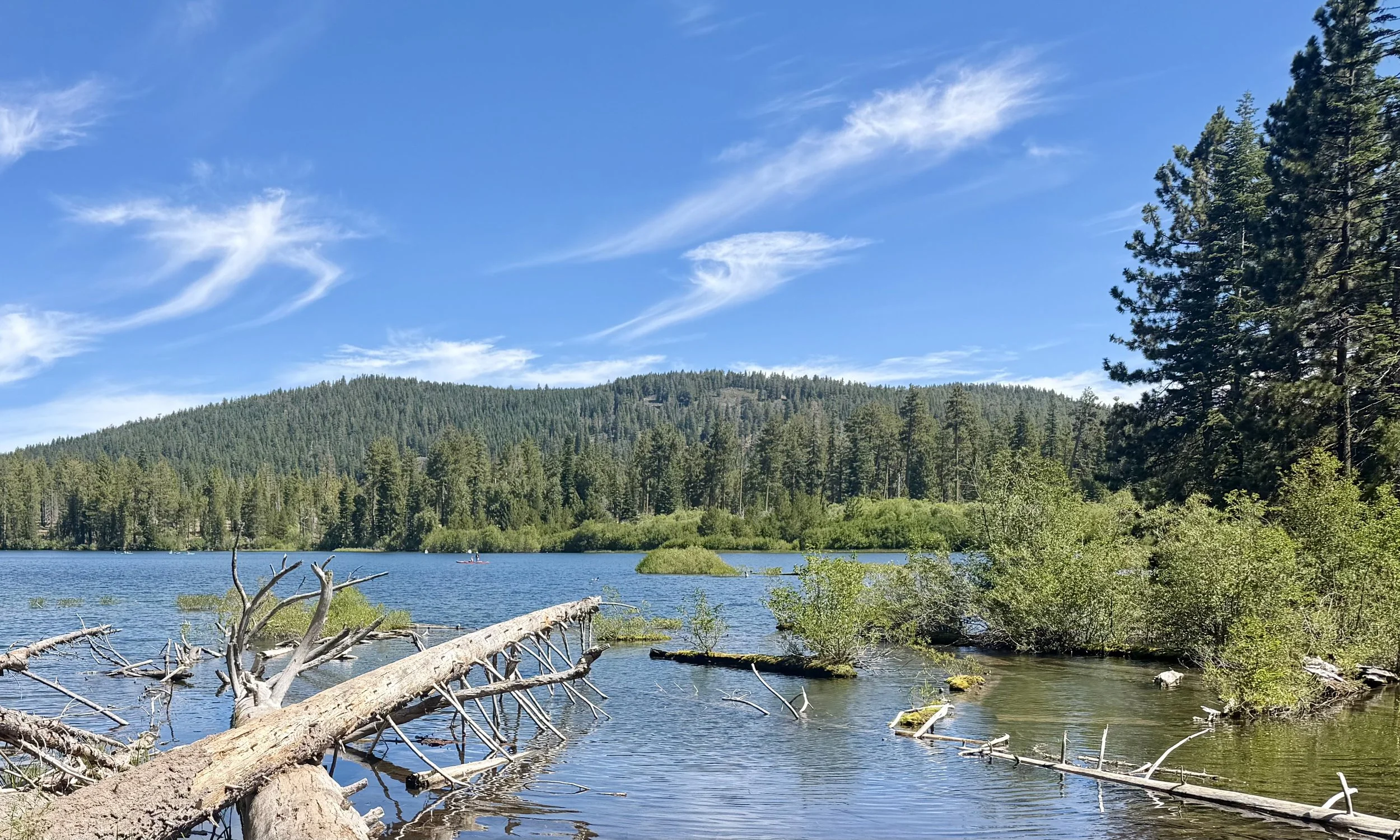
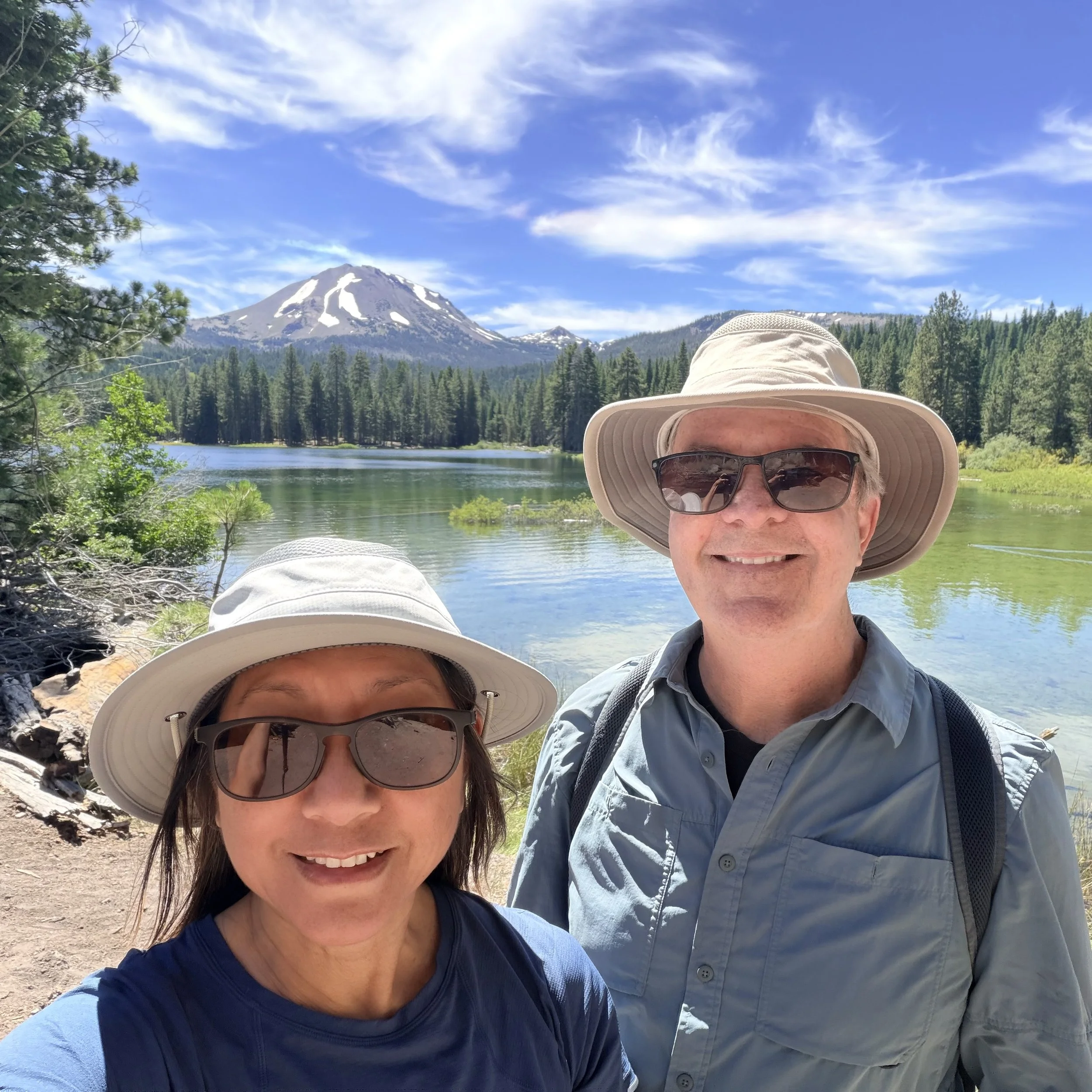
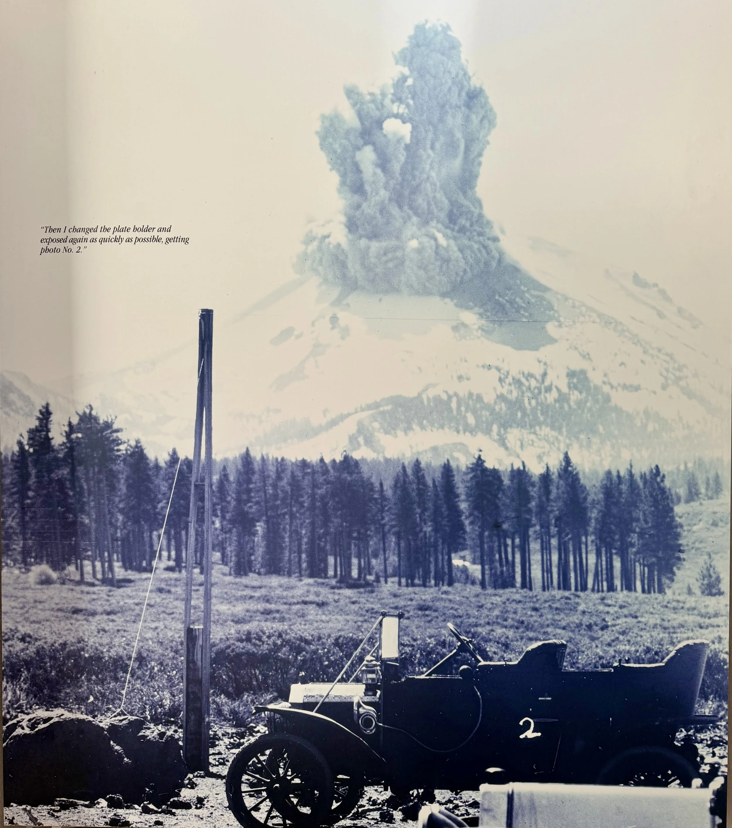
We took an easy, peaceful hike around Manzanita Lake, enjoying the birds and the sweeping views of Chaos Crags and Lassen Peak. There were many visitors here, paddling kayaks in the lake and picnicking on the small beach. A small museum nearby showcased the iconic photographs of B. F. Loomis, who used a box camera and glass plates to capture images of Lassen Peak erupting in 1914. It seemed like a courageous and crazy thing to do.
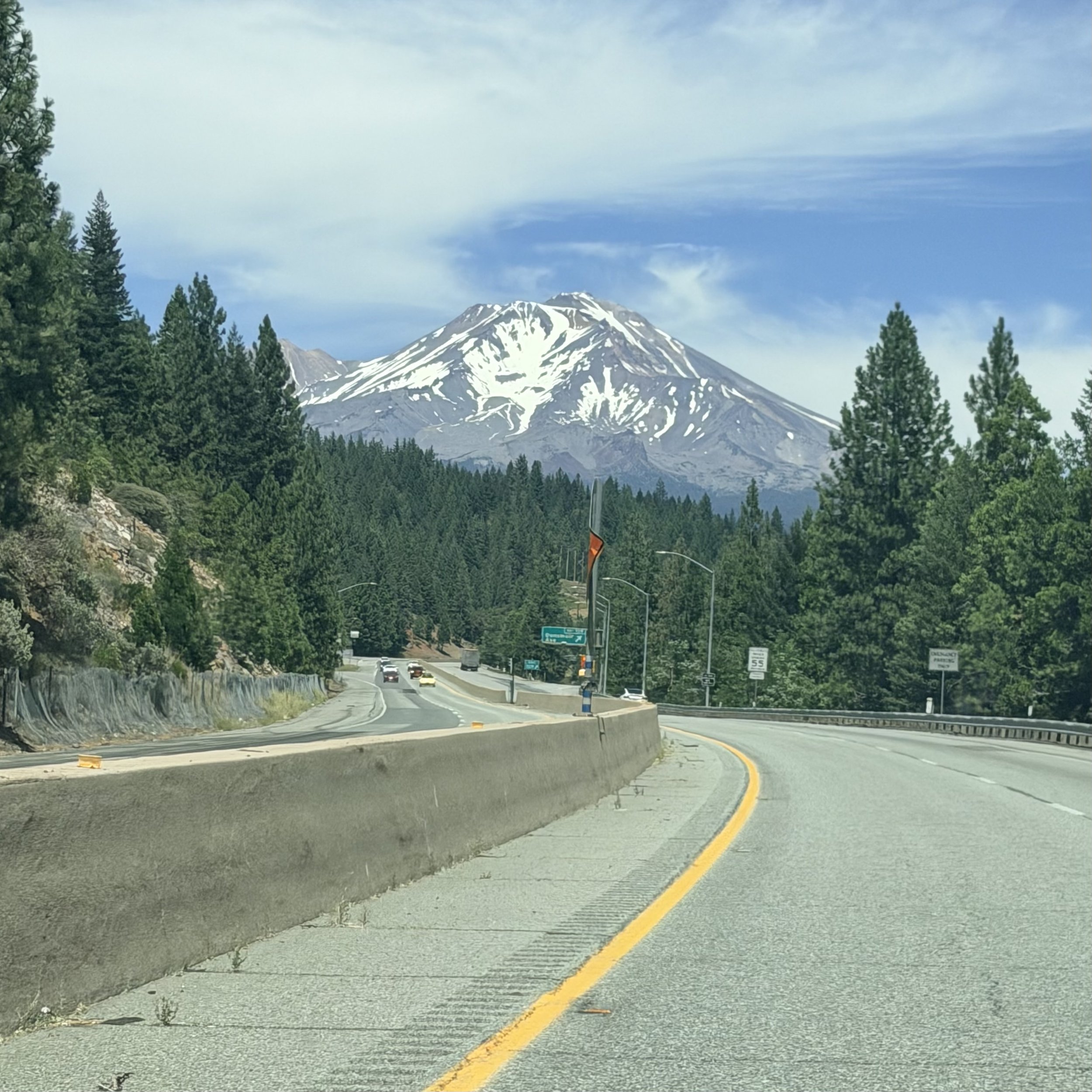
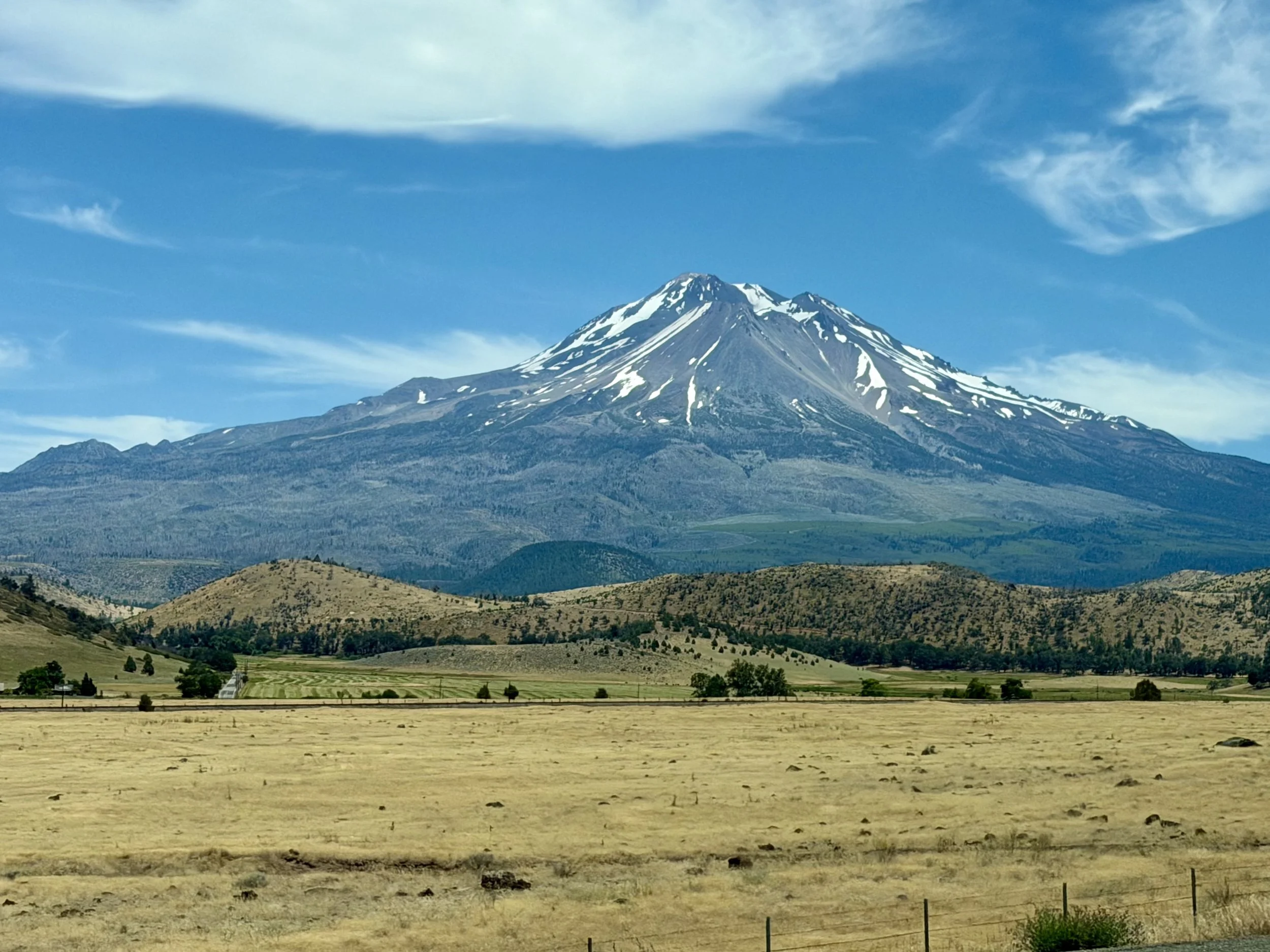
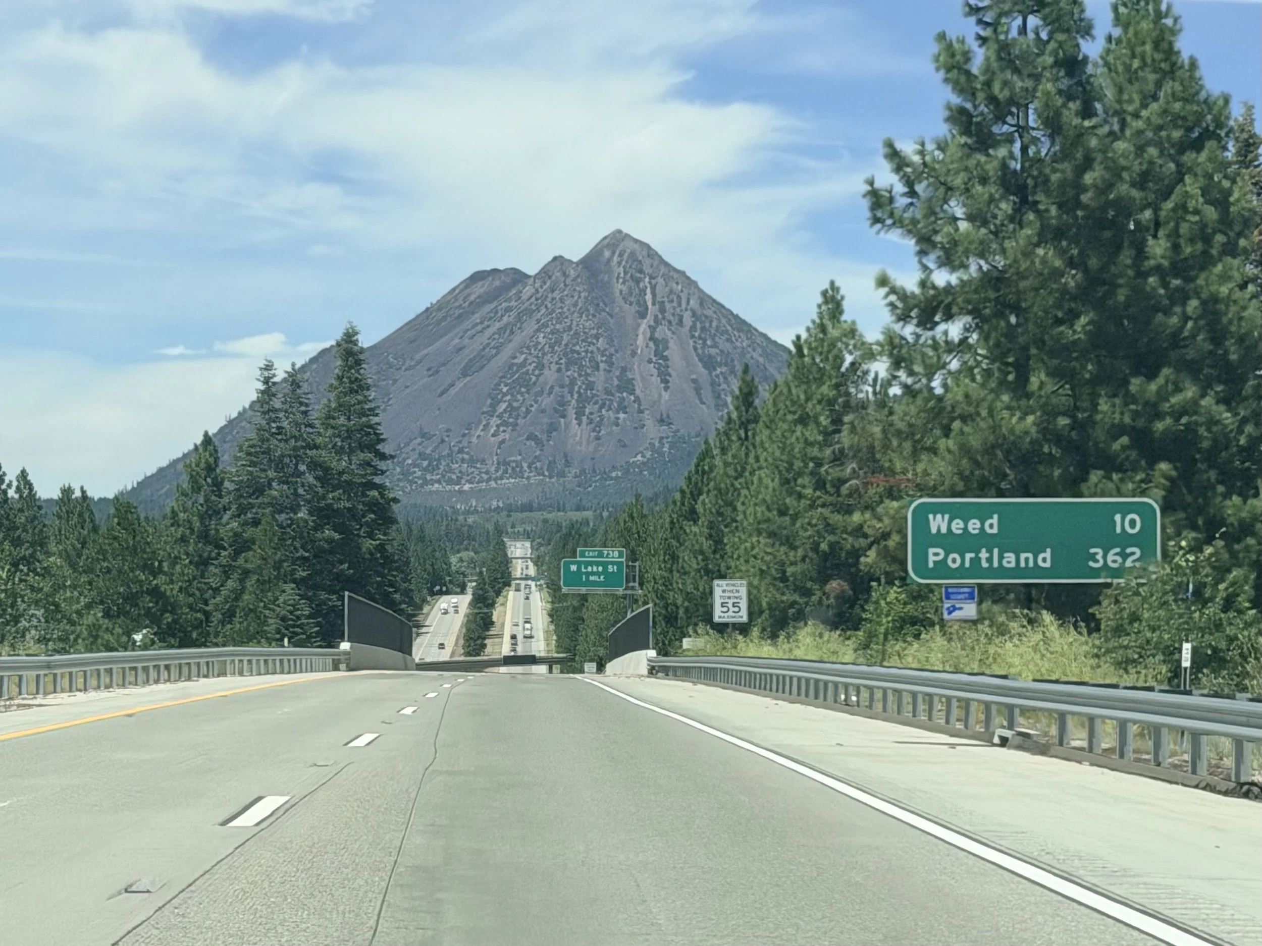
We said good-bye to Lassen NP and drove north on Interstate 5, admiring mighty Mount Shasta (elevation 14,179 feet) and mysterious Black Butte along the way. It would be about five hours’ drive to our next destination, Redwood National and State Park.