North Carolina Mountains Part III
We've completed 4 weeks of working from the road, 3 weeks in NC, and 2 weeks with Amy here with us.
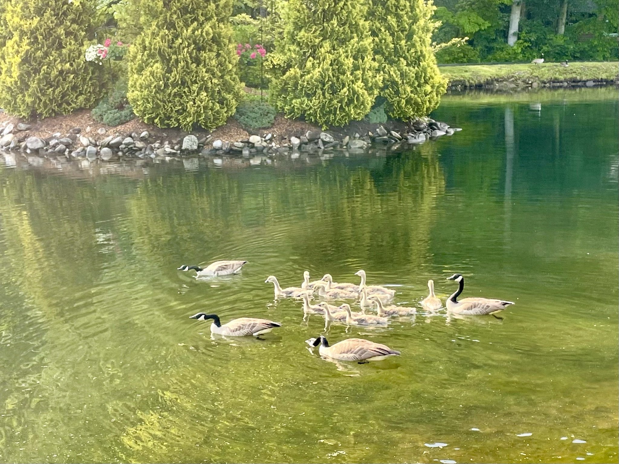
The goslings are growing quickly!
We're thankful for the good weather that has made our daily hikes so pleasant. During the week, we prefer shorter hikes that are close to the cabin, like the Roaring Fork Waterfall and the Mt. Mitchell Golf Course, which I wrote about earlier.
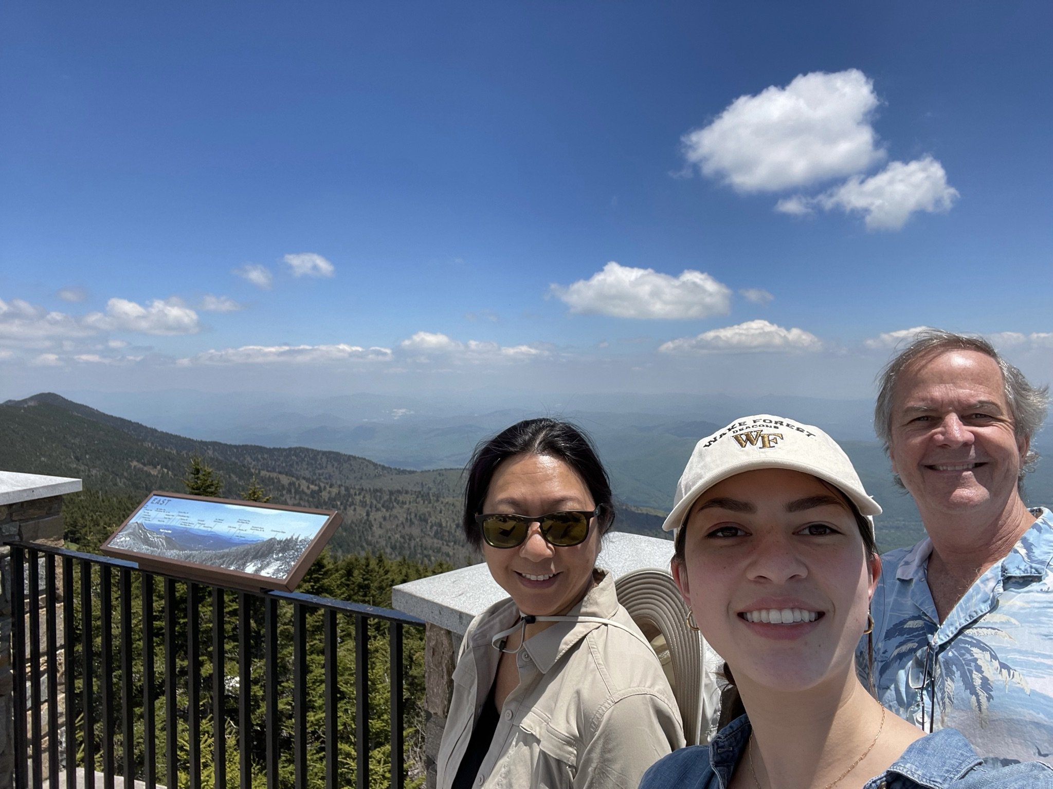
On weekends, we have enjoyed going a little further from the cabin. Mt. Mitchell State Park is about a 40 minute drive away. There is a short paved trail to an observation deck at the summit. It was very popular with motorcyclists and dogs.
The helpful signs at the summit point out and name the surrounding peaks and features. There were several "balds" and a feldspar mine. We wondered, if most peaks are named after or by the first person to summit them, what was the story behind the mountains named "Big Butt" and "Little Butt"? (I searched the internet for an answer and was disappointed; apparently in this context, "butt" is just a form of "butte.")
There is a little museum near the summit where we learned that Elisha Mitchell fell to his death in 1857, while trying to prove that this was, indeed, the tallest peak in the eastern US. (He used barometric readings and a lot of math.)

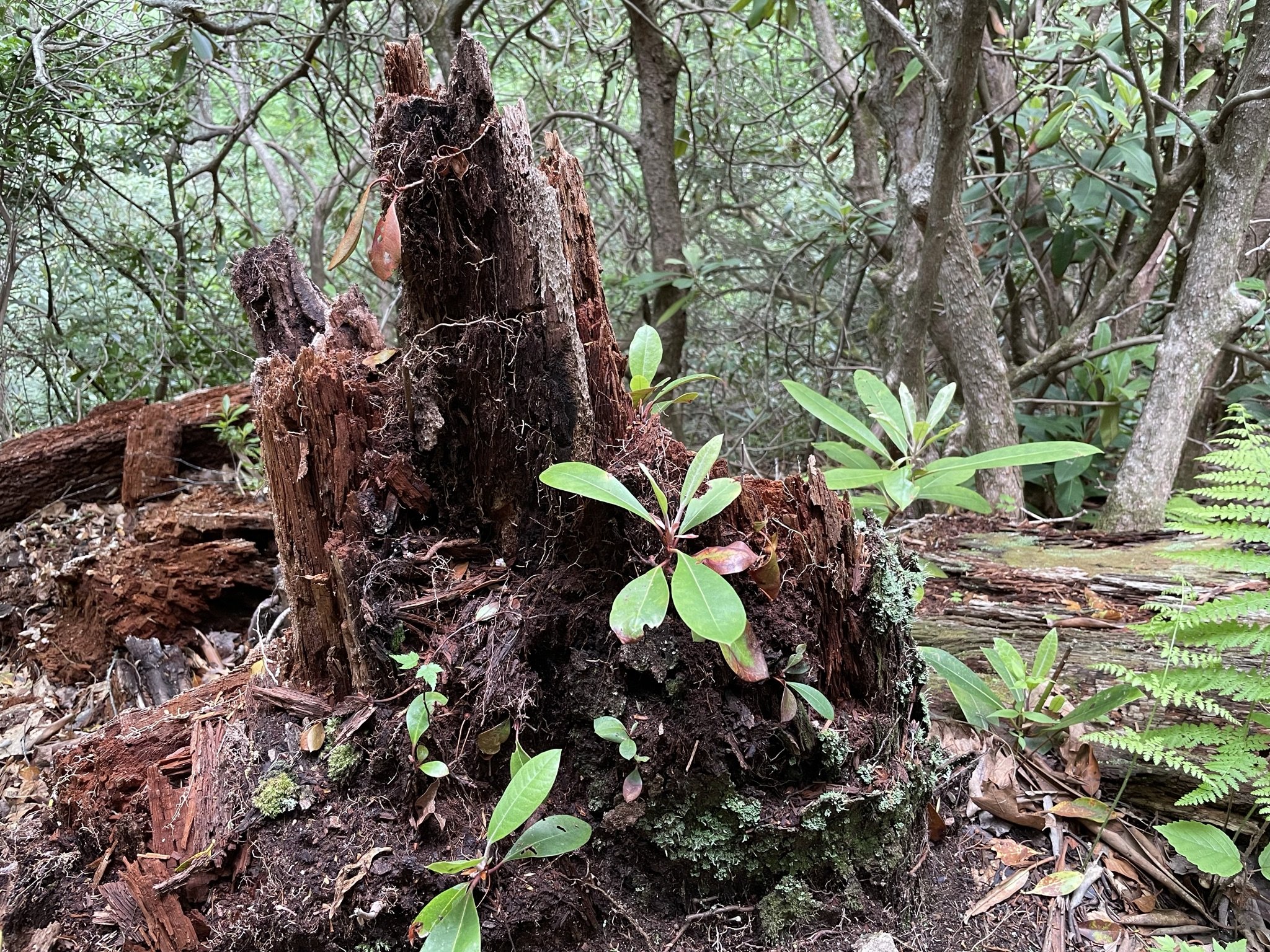
A 20 minute drive along an unpaved road leads to the Black Mountain Campground - a pretty place that we we would have loved to car camp at, back when we were still camping. There is a trail here that leads all the way up to the top of Mt. Mitchell, but we preferred the South Toe River Loop trail, with a little detour to Set Rock Falls near the end of the loop. (The name "Toe" comes from the native American name "Estatoe.") This was my favorite trail - moderate, shady, and soft underfoot. There were multiple stream crossings, some with simple wooden bridges, and others requiring that we cross carefully on foot. There was lots of mountain laurel blooming and plenty of big, shiny shelf mushrooms, which I think were hemlock reishi.


The Crabtree Falls Trail should have been about 30 minutes' drive away, but we took what we thought was the back route and got a little lost. No matter, we enjoyed the scenic route past the old Big McKinney Mine, which may be the feldspar mine we saw from the top of Mt. Mitchell!
The trail to Crabtree Falls was very rocky, uneven, and muddy, which meant we had to pay attention. It was pretty much all downhill to the falls, which were an impressive 60 ft tall. We enjoyed watching a couple try to strike a romantic pose in front of the falls for their photographer, while an enthusiastic border collie kept photo-bombing them.

The hike back uphill was not nearly as difficult as I feared; maybe all the exercise is paying off, and I am getting a little more fit!
We have only three more days here in North Carolina and the Blue Ridge Mountains. The weather has been wonderful, we have loved our cabin and the view from our deck, and we are talking about coming back again next May.